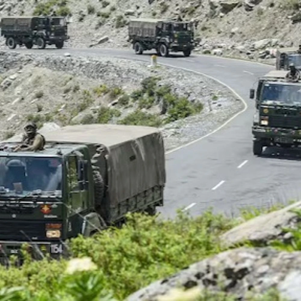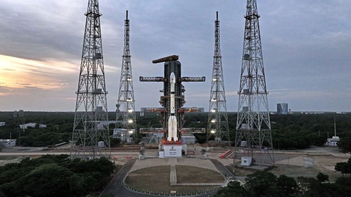
A new era of surveillance from space is going to start for India. ISRO is going to launch the first imaging satellite EOS 05. It will be able to keep an eye on parts of the country, including the border of other countries, including Pakistan-China, strategic areas. This will strengthen India's surveillance. It will send its new satellite EOS-05 into space in the early hours of Friday morning.
The most important thing about it is that it will be in an orbit above the earth from where it will be able to keep a constant eye on India and its surrounding area. According to ISRO, the GSLV-F17 rocket will take off from Sriharikota on September 4 at 2.55 am. This will be the 19th flight of the GSLV rocket.
What is so special about EOS-05?
Most of the satellites in India orbit very close to the earth. They constantly orbit the earth. After taking a picture of an area, the satellite moves ahead and comes back a few days later to take a picture of the same place again.
EOS-05 will be different
It will be about 36 thousand kilometers above the earth. At such a height, the satellite rotates with the speed of rotation of the earth. Therefore, it appears to be resting on top of the same area in the sky, that is, India and its surrounding area will be constantly in front of its camera. ISRO has said in its document that this is India's first satellite to take pictures from such a height.
new picture of India every 30 minutes!
EOS-05 is its ability to take pictures again and again. According to reports, it will be able to take a picture of the entire country about every 30 minutes. On the other hand, if you want to pay more attention to a particular area, then the picture can be found about every 5 minutes. Think of it like this, if there is a flood in an area, if the storm is moving forward or the forest fire is spreading, then the fresh picture of that area will be available again and again. This will help in understanding the situation and taking decisions in time.
floods to wildfires – where will the work come from?
The real benefit of EOS-05 will be in places where conditions change rapidly and every minute is precious. In which direction is the storm going? Which village is the river water moving towards? How fast is the forest fire spreading? Where can the clouds burst? How is the condition of the crop? Satellite images will help in keeping a constant watch on all this. Apart from this, changes in agriculture, water, forest and environment can also be monitored.
The satellite has special cameras that don't just take ordinary pictures. They can also capture changes in things that are not directly visible to our eyes. For example, crop disease or soil changes.
can you call it a spy satellite?
EOS-05 is also being called Jassi satellite in some places, but ISRO has not presented it in this way. According to ISRO, its purpose is to keep an eye on the earth and help in the work related to the common people. Yes, the ability to get a picture of an area again and again can also be beneficial in border monitoring and security preparation, but ISRO has not described it as a mission of the army. The rocket that will go EOS-05 - is also special. GSLV-F17 is responsible for delivering EOS-05 to space. According to ISRO, the height of this rocket is 51.7 meters and its weight will be about 420.5 tons at the time of flight. It is a three-part rocket.
There is a large solid-fueled engine in the bottom part and four more engines are attached to it. The upper part of it runs on liquid fuel. At the top is a very cold fuel engine. It has been developed by India itself. There is a lid about 4 meters wide at the top of the rocket. The EOS-05 satellite is safe inside it. The weight of the satellite is about 2367 kg. The rocket will not take it directly up to 36 thousand kilometers. It is also important to understand - the rocket will not leave the satellite directly above 36 thousand kilometers. According to ISRO, the first rocket will leave it on an elliptical path. The shortest distance from the earth of this path will be about 170 kilometers and the highest distance will be about 28,934 kilometers. After this, EOS-05 will go up slowly using its engine and reach its fixed orbit. The whole process may take a few weeks.
five-year-old unfinished work will now be completed?
EOS-05 mission. In August 2021, ISRO sent a satellite named EOS-03. The rocket took off but due to a disturbance in the upper part, the satellite could not reach its scheduled place. Now after about five years, an attempt will be made to complete the same incomplete work through EOS-05. This mission is also important for ISRO because during a launch in January this year, the rocket had a glitch. This is ISRO's first launch after that.
When will it launch and where will we be able to watch?
EOS-05 will be launched on September 4 at 2.55 am. ISRO will broadcast the launch live on its website and YouTube channel.

0 thoughts on “The China-Pakistan border is now under 24-hour surveillance, why EOS-05 is a 'trump card' for security?”
Leave a Reply
Your email address will not be published. Required fields are marked *



RECENT NEWS
- CHENNAI: People breached the security of CM Vijay and reached the convoy: Seeking justice in the death of a youth in police custody; 8 detained
- Got a new AI phone? Try these 10 features, your work will be easy
- Yasin Malik seeks hanging for himself: Kashmiri Pandit Sarla Bhat will not fight murder case; Affidavit says - Will divorce his wife
- Army's new route to transport weapons to China border: 298 km from Himachal; Dependence on a supply corridor in Ladakh will be eliminated
- Shri Krishna Janmashtami today, Mangala Aarti in Mathura-Dwarka, puja to be held throughout the day: 75 lakh devotees expected to arrive; Lord Jagannath will give birth to Kanha in Puri