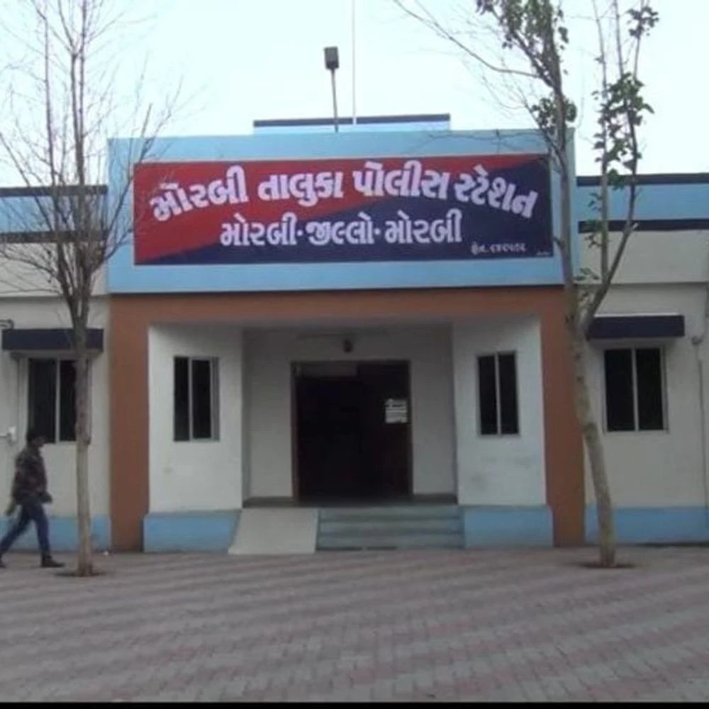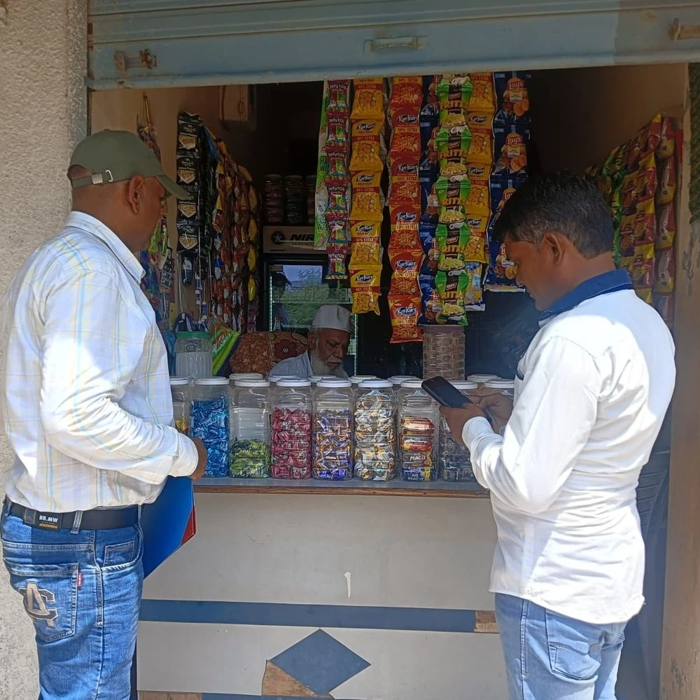
The Gujarat Urban Development Mission (GUDM) has launched the Urban Atlas Project for the well-planned development of Morbi city. Under this, a digital database will be created by surveying the city properties, public facilities and urban properties with the help of drones and GIS technology. Amnex Infotechnologies Pvt. Ltd. has been appointed for this project. The employees of the company will go to different areas of the city and collect information related to the property. The municipal corporation has appealed to the citizens to cooperate with the survey team and provide correct information. If there is any doubt, the identity card of the employee can be verified.

RSS News
Divyabhaskar
0 thoughts on “Drone and GIS survey of Urban Atlas project begins in Morbi: Digital information of city properties and facilities will be collected, appeals for municipal cooperation”
Leave a Reply
Your email address will not be published. Required fields are marked *



RECENT NEWS
- Mandali Garba amidst 50 years old trees on IIM Road: Blue Butterfly will hear the chirping of birds to the beat of drums and drums, old tradition and worship of Mataji with Gabbar
- 1100 personnel deployed for the security of players roaming in Navsari: Night Vision drones and cavalry teams to keep an eye on
- Geeta Rabari's multicolour Chaniyacholi royal style: 'Kesaria 4.0' in Surat Pre-Navratri Sportsperson's Enthusiasm High; Crowd breaks barricades to take selfies
- Drone and GIS survey of Urban Atlas project begins in Morbi: Digital information of city properties and facilities will be collected, appeals for municipal cooperation
- Two friends on a bike were injured in a collision with a Bolero near Makansar: One suffered a fracture in the head and leg, the other injured in the leg; Treatment underway in Rajkot